Clients often ask for a “full PAS 128 survey” without saying what that means for each part of the site. PAS 128:2022 is clearer when you talk in quality levels. Those labels tell everyone how much confidence sits behind every plotted pipe or cable.
Why quality levels exist
Underground utility drawings look neat on a screen. The ground is messier. Some lines come from old records. Some were traced with an electromagnetic locator. Some were opened in a trial hole and measured by hand. If the drawing treats all of them as equal, the design team will over-trust the weak data and under-use the strong data.
Quality levels fix that. They sit on each segment so a drainage engineer, highway designer, or principal contractor can see the difference at a glance.
QL-D: desktop utility study
QL-D is records work. Surveyors gather statutory and other available plans, compare them, and plot the apparatus with the uncertainty left visible. No one has walked the site yet for this level alone. QL-D is still valuable. It shows where owners expect plant to sit and which crossings are sensitive. Skipping it to “save a week” often moves that week into a later redesign.
QL-C: site reconnaissance
QL-C adds boots on the ground. Covers, markers, reinstatement scars, and other surface evidence either support or contradict the paper trail. It does not replace geophysics, but it stops the detection crew from walking into an obvious mismatch between records and reality.
QL-B: detection
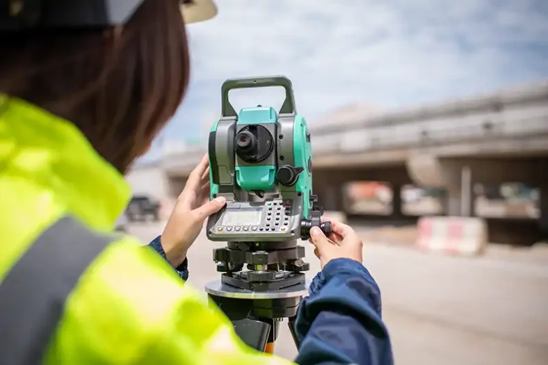
QL-B is the detection product most design teams mean when they say “utility mapping.” Horizontal and vertical positions come from geophysical methods. Under PAS 128:2022, Type B work should include electromagnetic locating and ground penetrating radar, plus the Type D and Type C foundations that come first. Depths are reported where the method allows. Residual risk remains where the ground is hostile to the instruments.
QL-A: verification
QL-A is physical confirmation. A measured trial hole, vacuum excavation, or clear view inside a chamber turns a detected line into a verified one. It costs more per point, so clients usually reserve it for critical crossings, congested junctions, or places where a wrong assumption is expensive.
How to write a better survey brief
A short, precise instruction beats a long generic one. Name:
1. The survey red-line boundary
2. The quality level needed in each zone
3. Whether GPR post-processing is expected
4. How ground markings should be left
5. The CAD or GIS format your team will open
Methodology types (search intensity and grid spacing) also matter. An empty field can use a lighter grid. A city-centre plot with stacked historic services usually needs a tighter approach.
Where to get specification-led support
If you want the work scoped as a specification choice rather than a vague product name, PAS 128 Surveyors UK (https://pas128surveyorsuk.com/) explains the QL-D to QL-A ladder and the Type B EML-plus-GPR minimum in client language. Their service pages cover PAS 128 surveys (https://pas128surveyorsuk.com/), GPR, utility mapping, desktop studies, electromagnetic locating, and trial hole verification.
Practical tip
Do not buy the same quality level for every metre of the site unless the risk really is that even. Mix levels where it makes sense. Put money on the crossings that can stop the programme, and keep lighter methods on low-risk margins. That is how PAS 128 is meant to be used on live UK projects.