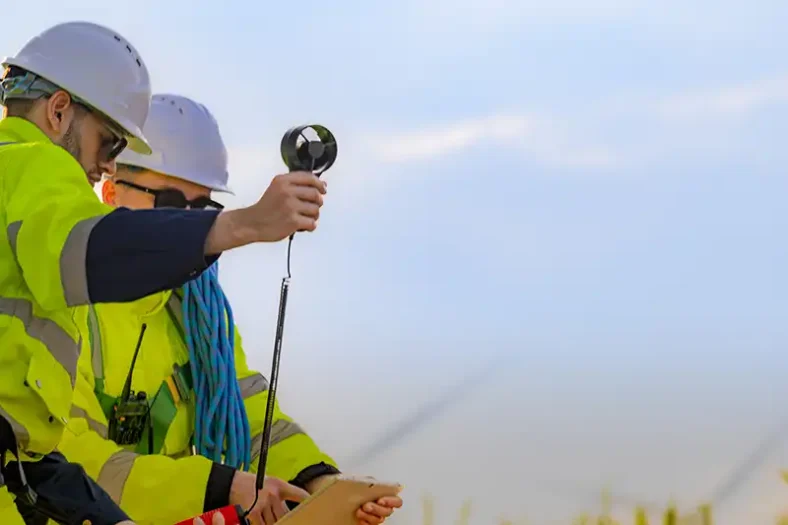
Hitting a buried cable or water main is one of the fastest ways to stop a UK construction project. The delay is expensive. The safety risk is worse. That is why more site teams now ask for a proper underground utility survey before the first digger bucket goes in.
Digging without a clear picture is a gamble
Statutory record drawings help, but they are often incomplete. Private connections, abandoned lines, and old diversions may not show up on paper. HSE guidance HSG47 still expects teams to plan the work, locate and identify services, then excavate safely. A desktop search alone rarely meets that middle step.
This is where a PAS 128 survey (https://pas128surveyorsuk.com/) comes in. PAS 128:2022 is the UK specification for detecting, verifying, and reporting buried utilities in a shared language that designers and contractors can both use.
What PAS 128 actually standardises
PAS 128 does not invent new physics. It sets out how surveyors should:
• Collect and plot existing records
• Check the site for surface clues
• Detect services with geophysical methods
• Grade each plotted line by confidence (quality level)
• Deliver drawings in CAD or GIS, not a vague mark-up
That grading is the useful part. A line copied from an old statutory plan is not the same as a line traced on site with electromagnetic locating and ground penetrating radar. Your design team needs to see the difference.
Quality levels in plain terms
• QL-D — desktop records study
• QL-C — records plus site walkover
• QL-B — detection with methods such as EML and GPR
• QL-A — physical exposure and measured check (trial hole or chamber)
Most live jobs need a mix. A quiet crossing may be fine at QL-B. A critical highway diversion may need QL-A on selected points.
Type B is not “GPR only”
Under PAS 128:2022, a Type B detection survey should include both electromagnetic locating and GPR, built on the earlier records and reconnaissance steps. EML follows conductive and live services. GPR can pick up plastic pipes, fibre ducts, voids, and other contrasts that EML may miss. Using one tool and calling the result a full PAS 128 Type B survey is a weak reading of the specification.
What a good deliverable looks like
A useful package is more than a pretty overlay. Each utility segment should carry a quality level, a detection method, and a depth where one was obtained. Chamber notes, photos, and a short residual-risk statement help the principal contractor on the day. Most UK civils teams want 2D CAD on a project grid; many asset owners also want a GIS file.
If you are scoping a new site, start with the overview on PAS 128 Surveyors UK (https://pas128surveyorsuk.com/) and name the survey boundary, target quality levels, and drawing format in your brief. Clear instructions beat the vague request for a “full PAS 128” with no further detail.
Bottom line for project managers
A PAS 128 survey will not replace a CAT and genny check on the day of excavation. It will give designers and contractors a common, quality-levelled picture before plant arrives. That is usually cheaper than a strike, a redesign, or a weekend emergency isolation.
For national UK coverage and specification-led proposals, see pas128surveyorsuk.com